During one of the hottest days of the year, Dr. Susan Agolini, Assistant Professor of Biology at Marymount University, and more than 20 “community scientists” set out across Northern Virginia to understand where residents are most at risk during extreme heat waves.
“The Heat Watch project is a way to measure the heat that exists in a community and is really looking for heat islands, urban areas that are significantly hotter than other surrounding areas,” Dr. Agolini explained. “Marymount is very interested in interfacing with and supporting the Arlington community, and this is really a perfect project for a community partnership.”
The effort is part of a larger, community-led campaign organized by the Virginia Foundation for Independent Colleges (VFIC). On July 15, Marymount joined 11 other higher education institutions within the VFIC, along with Virginia State University, in recording air temperatures and humidity of communities throughout the Commonwealth of Virginia.
Using specially designed thermal sensors, Marymount faculty, staff, students and volunteers from community organization EcoAction Arlington and the Virginia Department of Forestry set out to detect heat conditions throughout Arlington County during three times of day — 6 am, 3 pm and 7 pm.
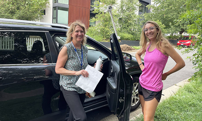
“l think it’s really important to volunteer where you can,” said Maureen Dour, Learning Specialist at Marymount and Heat Watch volunteer. “To be part of this study, it was not hard and it was really interesting!”
Previous Heat Watch campaigns in Richmond, Norfolk and Roanoke revealed temperature differences as significant as 16°F between the coolest and hottest places.
Data collected will be analyzed by project partner CAPA Strategies to create a high-resolution heat map that will better inform increasing risk and exposure to extreme heat. A visual representation of heat distribution will support existing programs and initiatives in the Commonwealth, including climate change mitigation and resilience, public health and energy efficiency.
“This work will highlight the social disparities that exist in our community due to differential urban planning,” Dr. Agolini said. “People who live in the areas of heat islands typically already have a higher risk for different diseases due to injustices in our social system, so we want to find out if they’re also experiencing additional burdens due to the heat in these areas.”
The heat mapping program was created by the National Oceanic and Atmospheric Administration, and has given rise to more than 10 heat island mapping campaigns across the country this summer.
“It’s great to see volunteers from across Virginia taking action to address extreme heat that’s affecting their families and neighbors,” said Hunter Jones, Climate and Health Project Manager with NOAA’s Climate Program Office. “The heat wave in the Pacific Northwest is the latest reminder that extreme heat is a serious health risk. Information from NOAA-supported community heat mapping campaigns here and across the country will help bring local and equitable solutions to those facing the greatest threat.”
Additional project partners include Capital One and the Science Museum of Virginia.